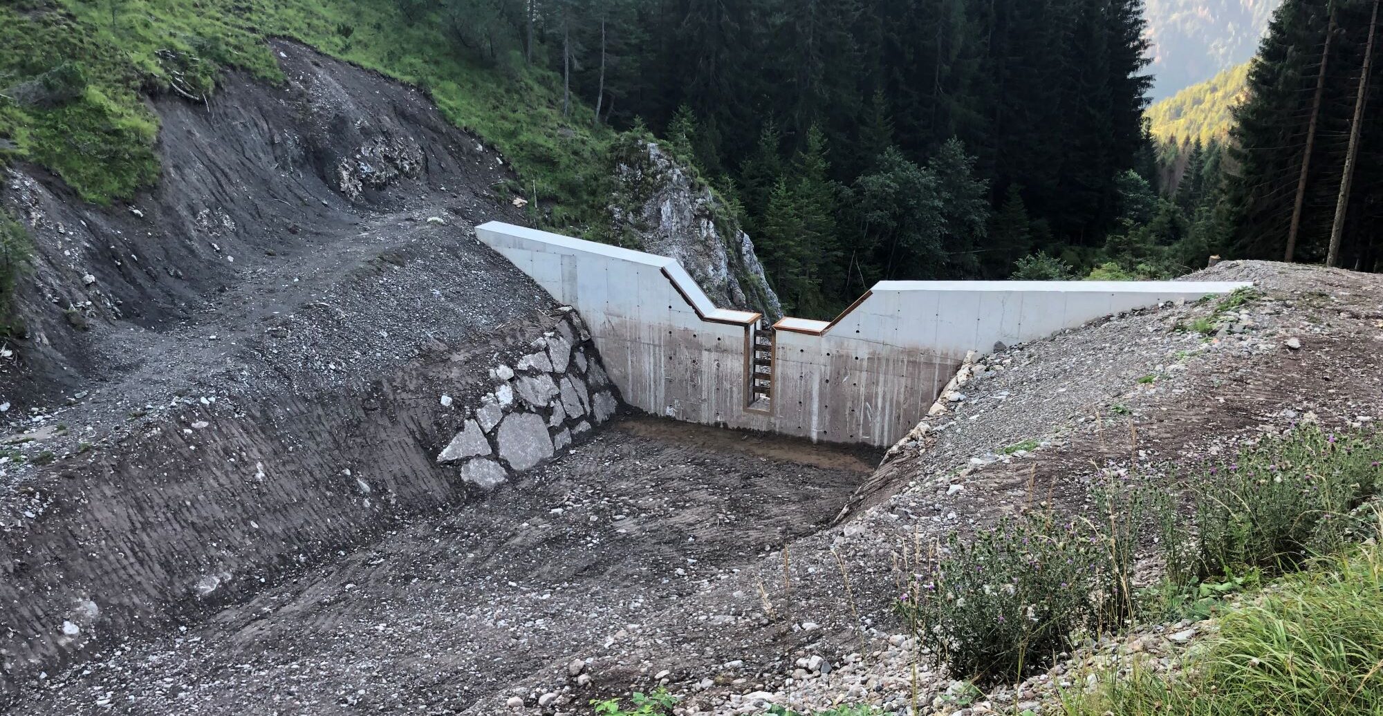
The Val de le Roe, which is traversed by the temporally regulated Rio of the same name, during particularly intense and abundant rainfall is characterized by the triggering of debris flow phenomena, which are fed in the upper part of the basin by a suspended landslide body and the large number of debris generated by the erosion of the rock formations present. With the aim of pursuing the safety and protection of the underlying settlement of Todesch (municipality of Vallada Agordina, BL) from the debris flow phenomenon, they were designed and built accumulation basins in line with the watercourse by means of the interposition of new selective weirs. Given the morphology of the valley, embedded within steep slopes, and characterized by steep slopes, a key role was played by the topographic survey and survey phase, carried out by integrating different technologies such as GPS, total station, and aero photogrammetry, for the accurate identification of the most suitable areas for the location of the interventions. This was done to optimize the economic resources at available by taking advantage of the natural characteristics of the area as much as possible. For the sizing of the works, hydraulic modeling of the Rio delle Roe, which led to the estimation of the solid transport and the determination of the volumes of sediment in play during the project event.

