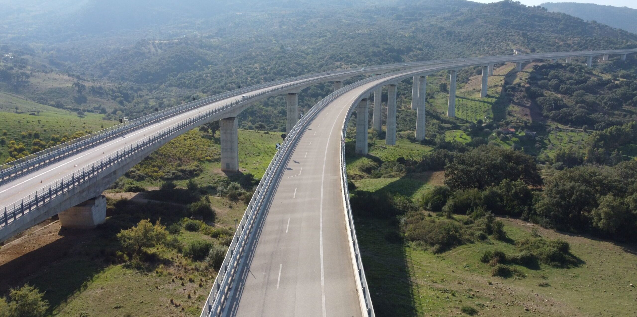
In the initial phase all the works were geolocated and recorded using topographic and photo-gram surveys with the return of ad hoc point clouds thanks also to the use of drones. This phase, along with a historical, landscape, hydraulic, and geological document research for each individual structure, was important for compiling Level 0 census sheets following MIT guidelines. The next phase involved the Level 2 and 3 inspectors in the field, for the compilation of the Level 1 defect sheets, who through the use of drones and mountaineering techniques were able to inspect and closely view every part of the works in question. Once the records complying with the Ministerial regulations were completed, a special Bridge-Management-System (BMS) in the QGIS environment, where all works in a query-able format according to their geographic locations and properties intrinsic.

