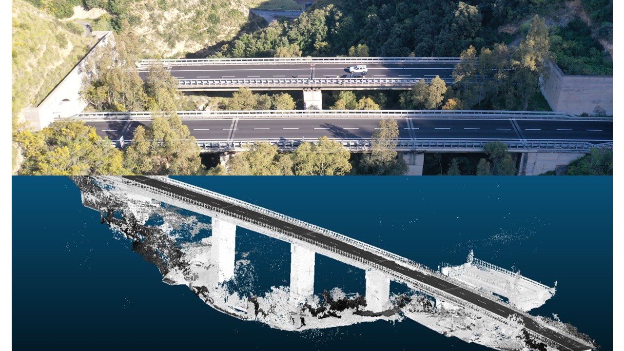
For proper planning, all works were pre-viewed and geolocated via GPS coordinates by inserting them into a Google Earth file that served as a reference for any problem of access or interference with other minor works and for all subsequent stages. The intervention carried out included a first phase of work in which the surveys were carried out with total station and point clouds, subsequently the visual inspections were executed according to the LL.GG. of the MIT passing any type of orographic or artificial obstacle through the use of drones and mountaineering techniques. In the post-processing phase, the data sourced for the compilation of the census by means of boundary data sourced though painstaking research on the historical, landscape, hydraulic and geological documentation of the area, performed for each work. Subsequently, for the works that highlighted the need for more accurate verification, the investigation plans were carried out and the related tests as well. Each phase was done in accordance with the ‘Guidelines for Risk Classification and Management, Safety Assessment and Monitoring of Existing Bridges’ of the Ministry of Infrastructure and Transport.